Illustration + Research Project Highlight:
College of the Atlantic Maps
July 2025
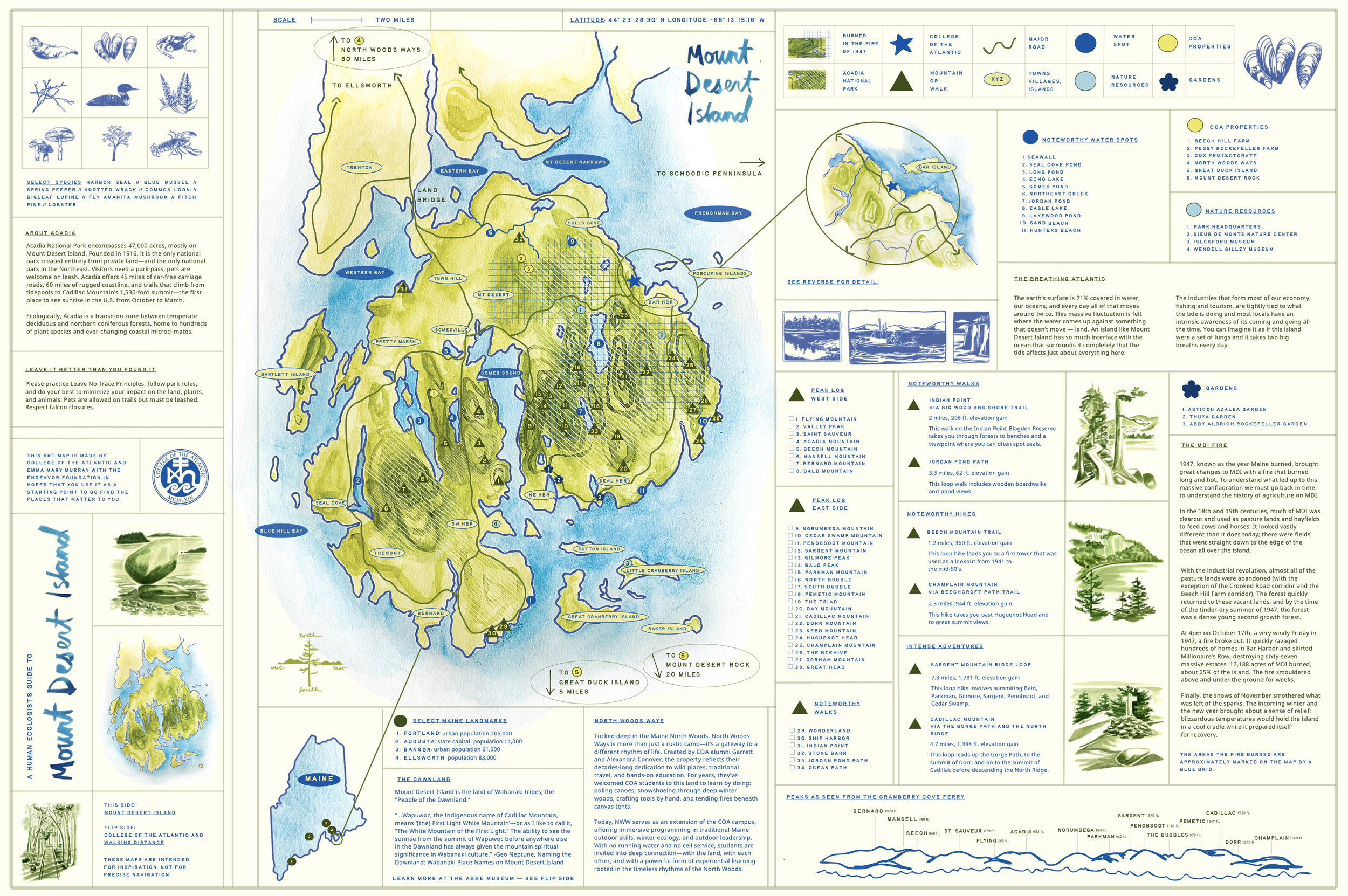
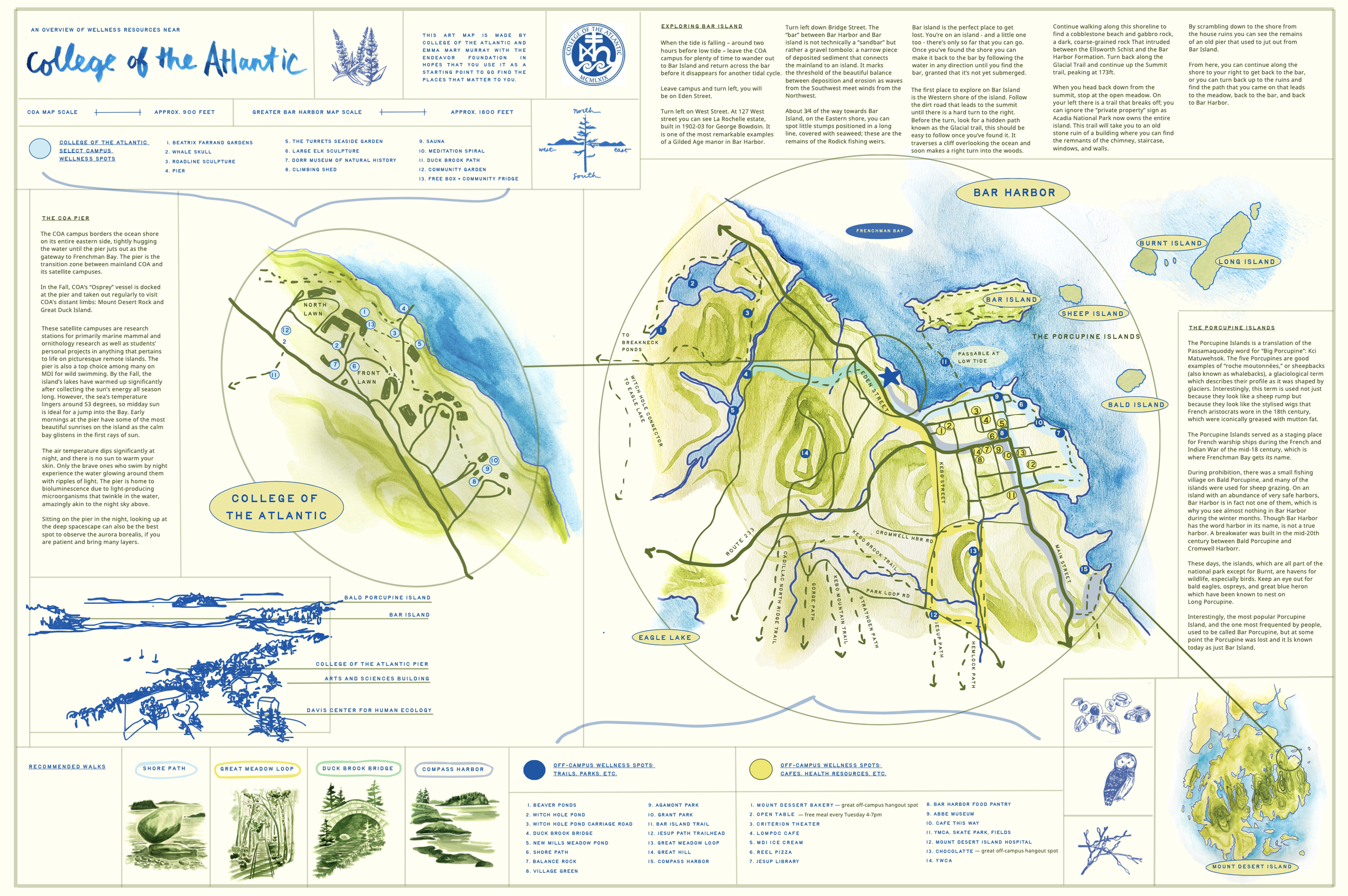
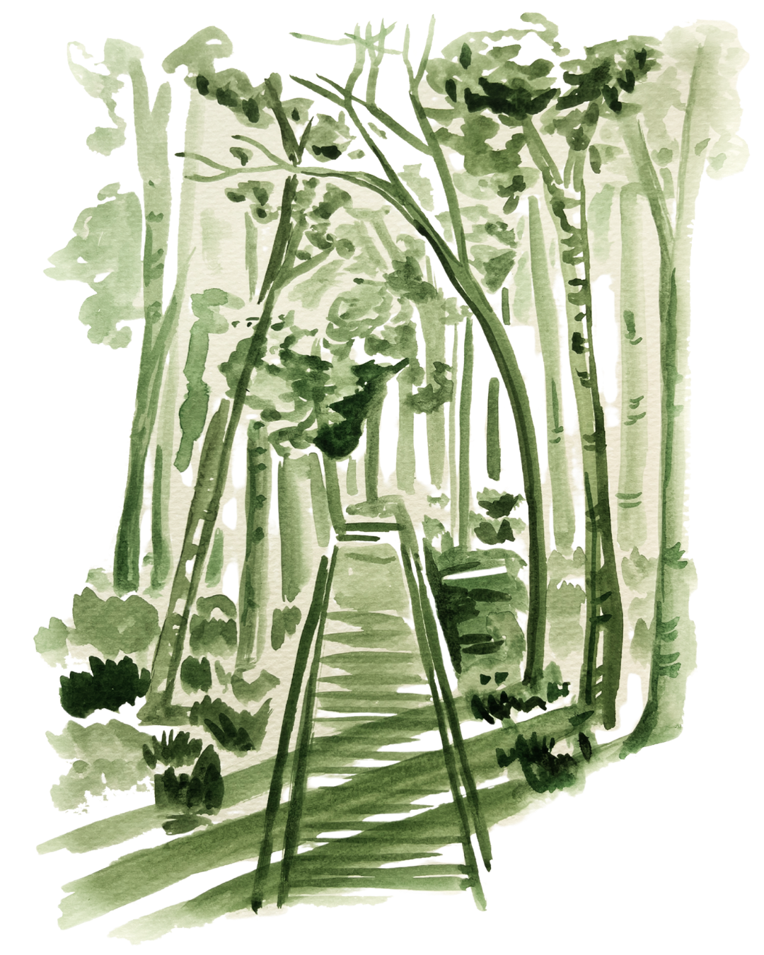
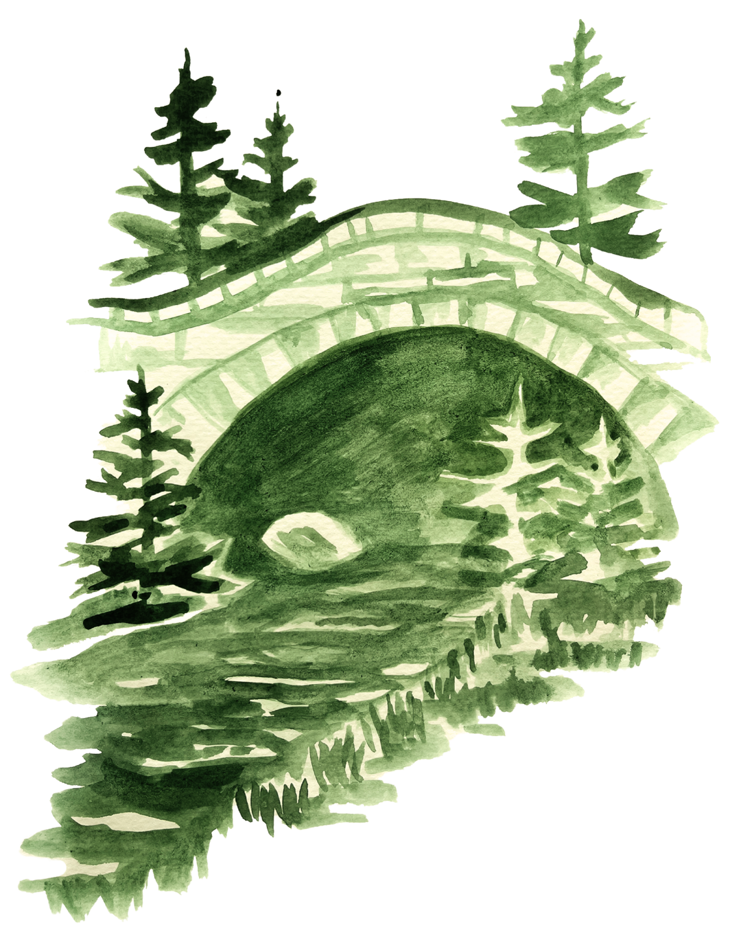
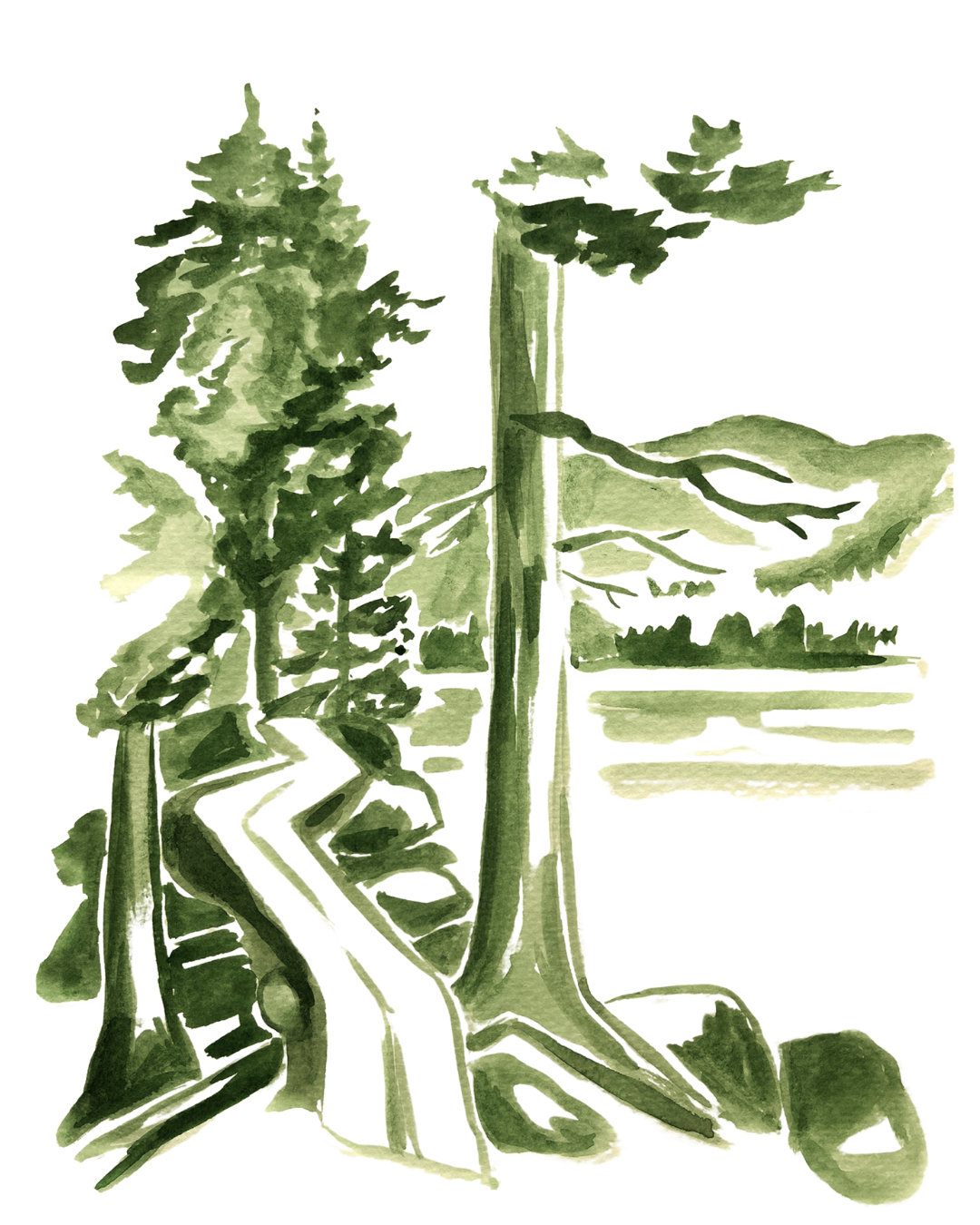
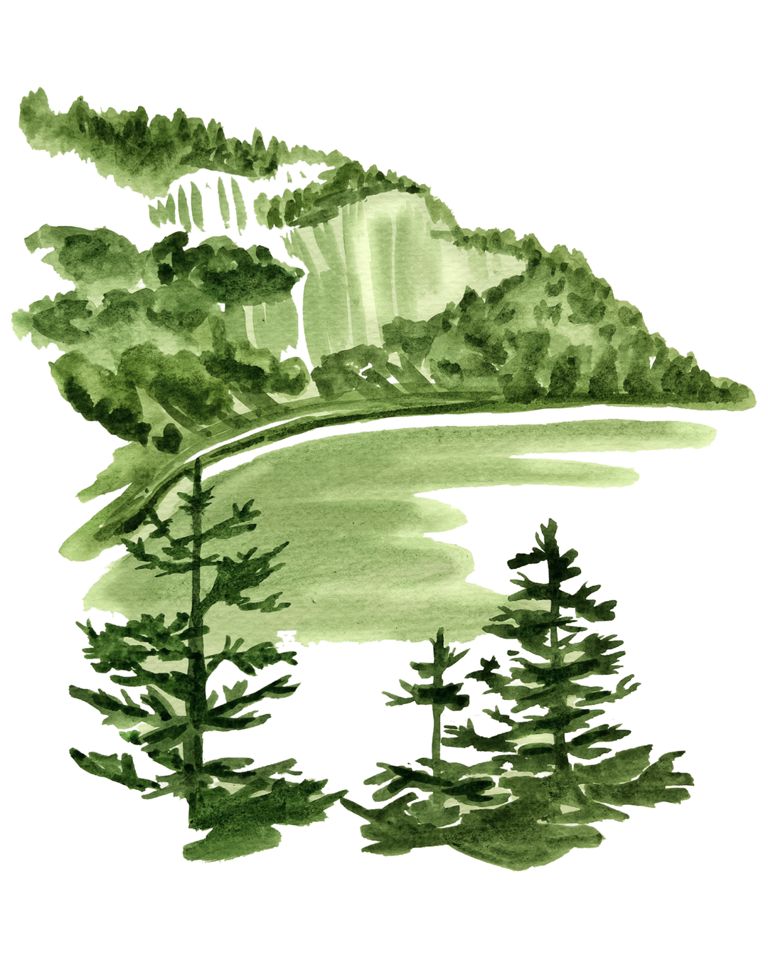
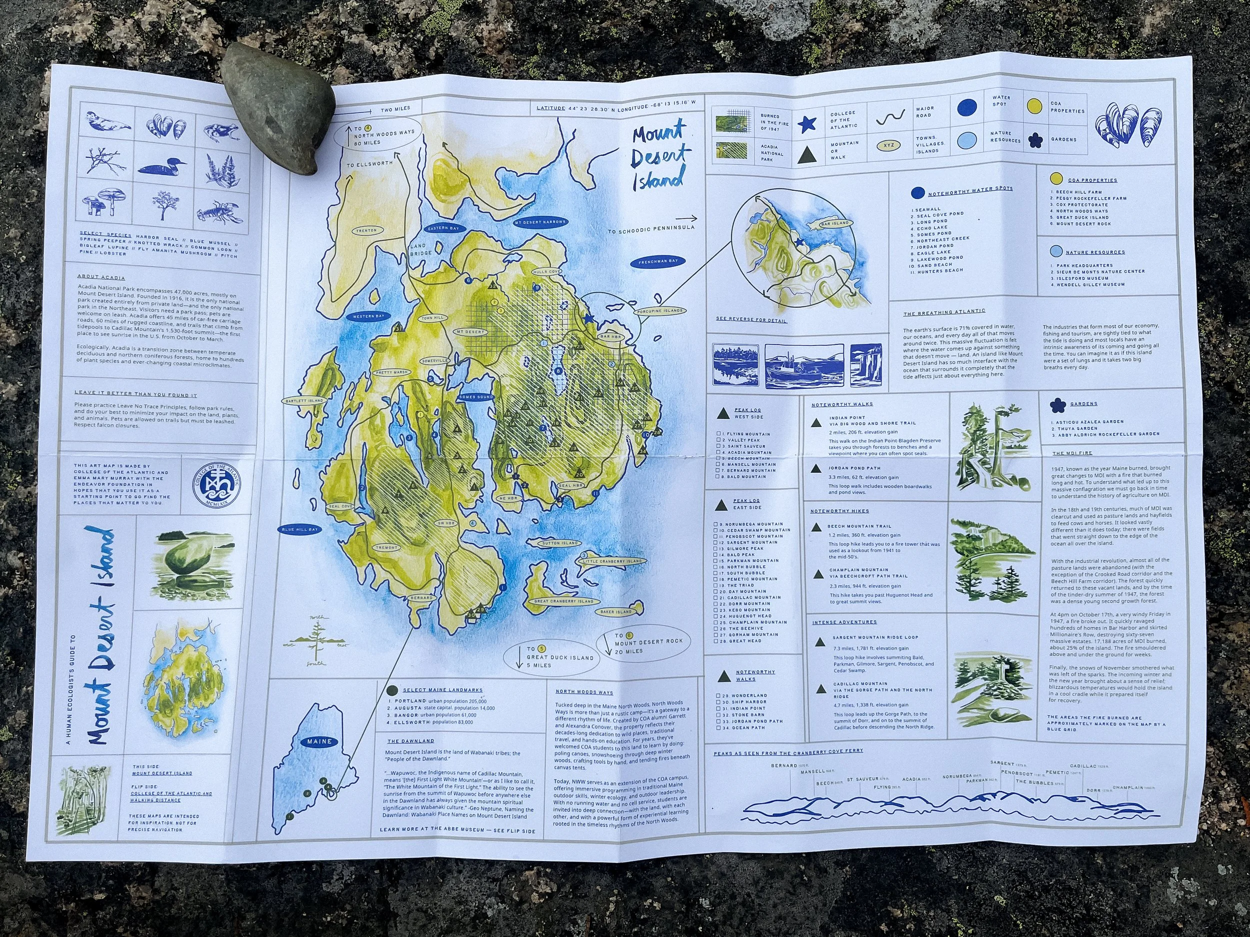
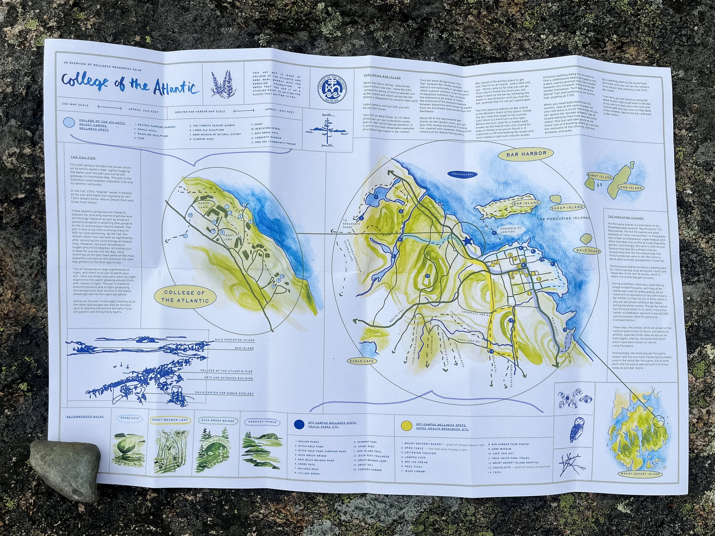
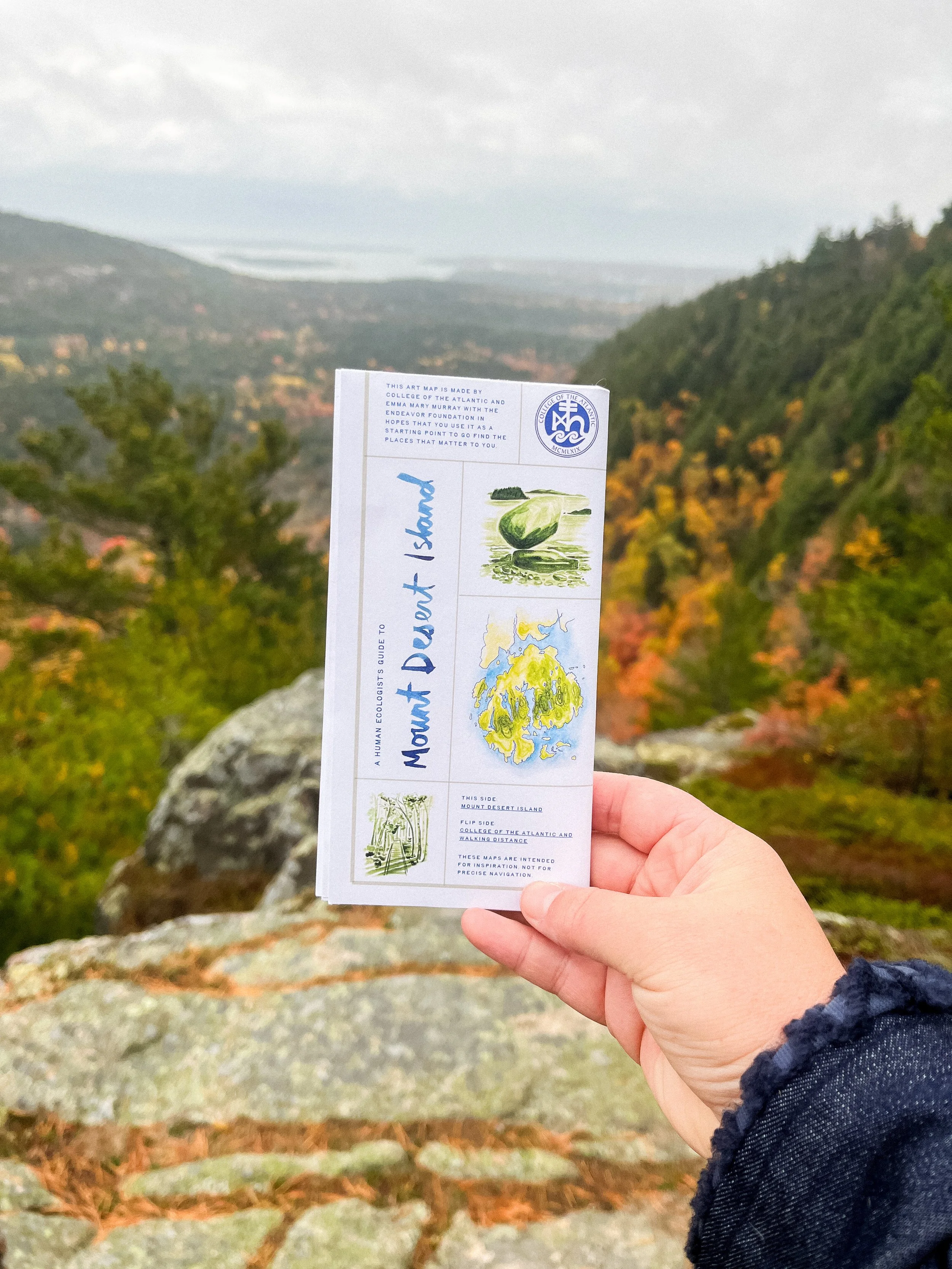
Brief: To increase student wellness and sense of place, create two maps: one of resources within walking distance of College of the Atlantic (COA) + one of resources on Mount Desert Island. The maps will help students connect to this landscape and find the places that matter to them.
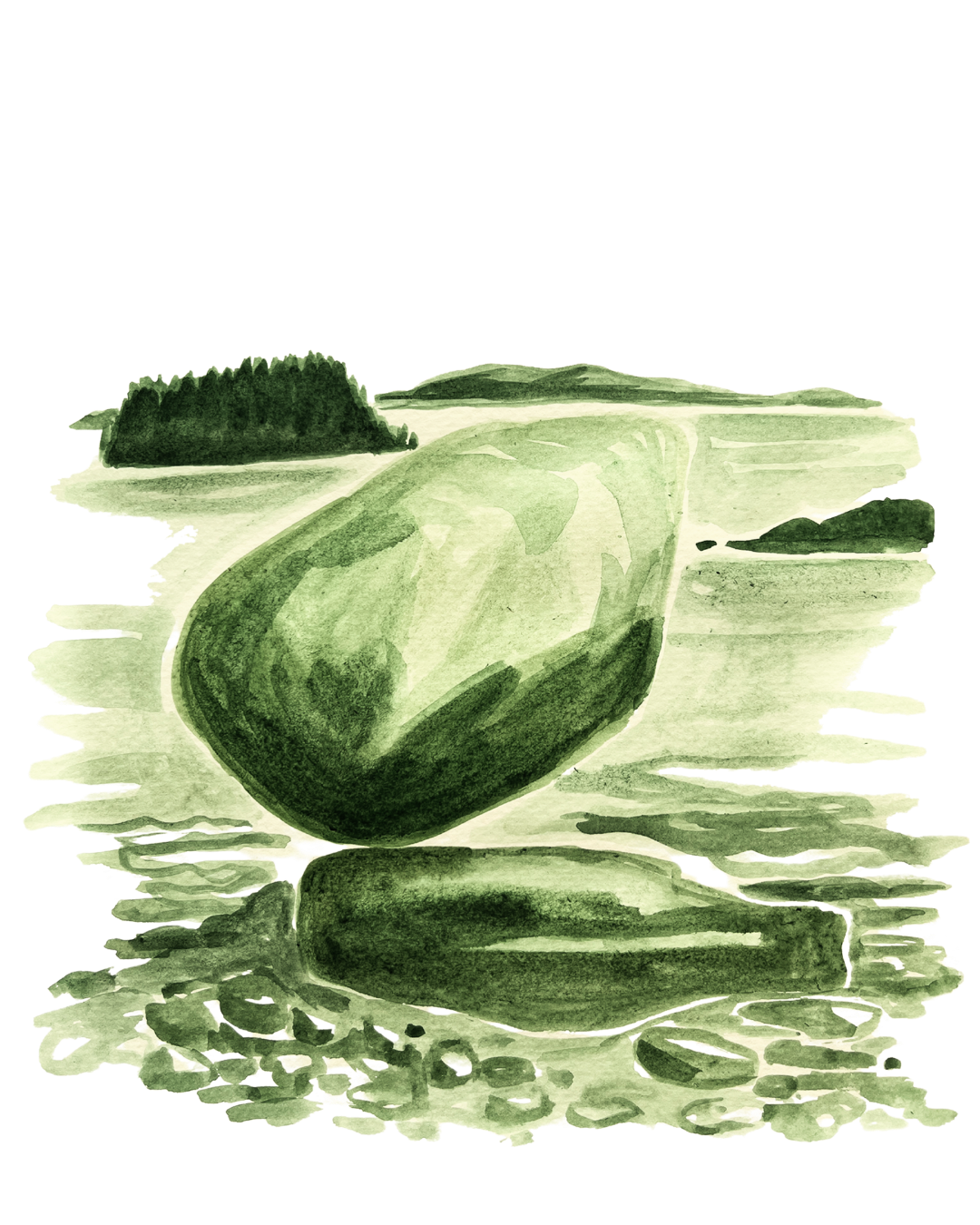
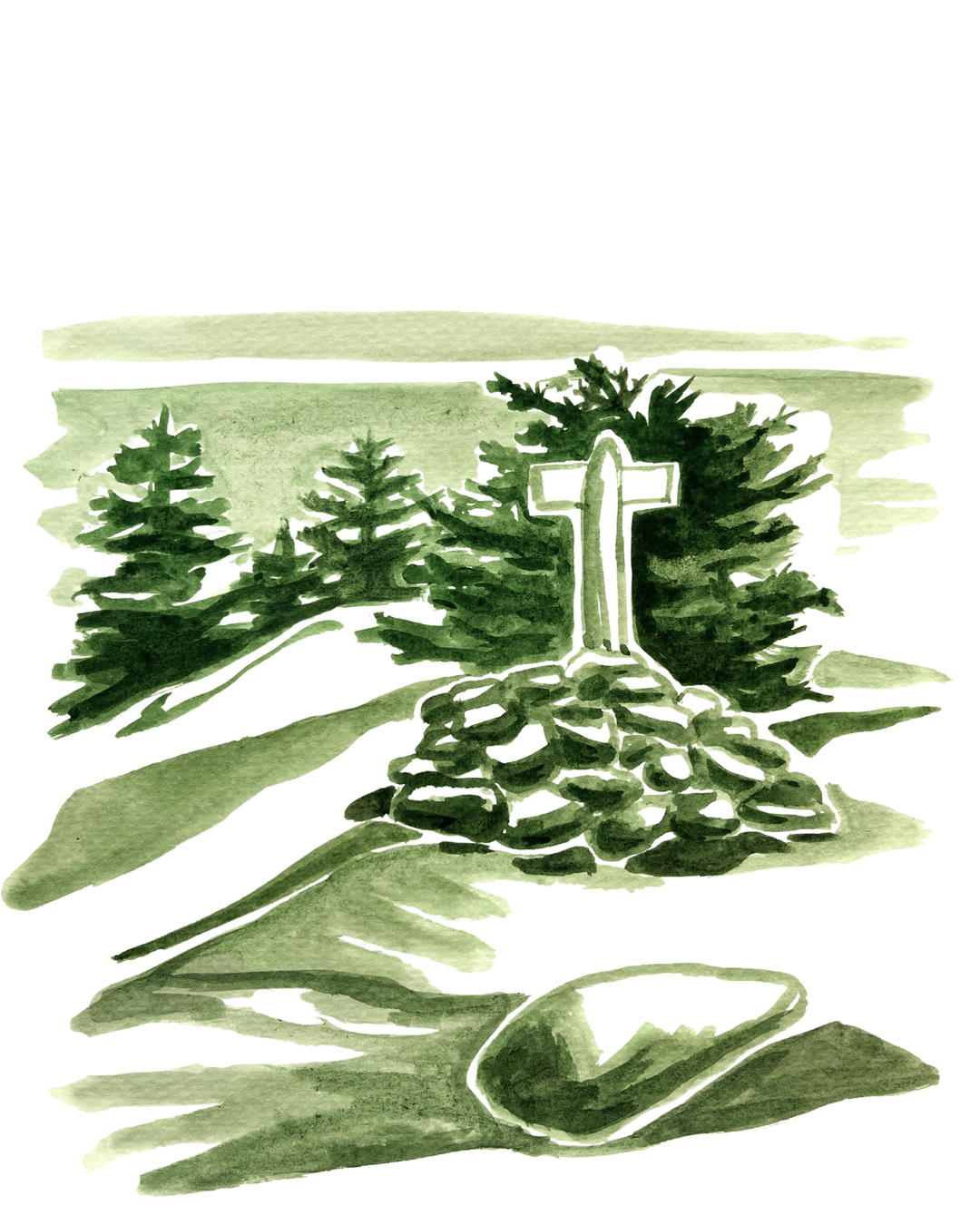
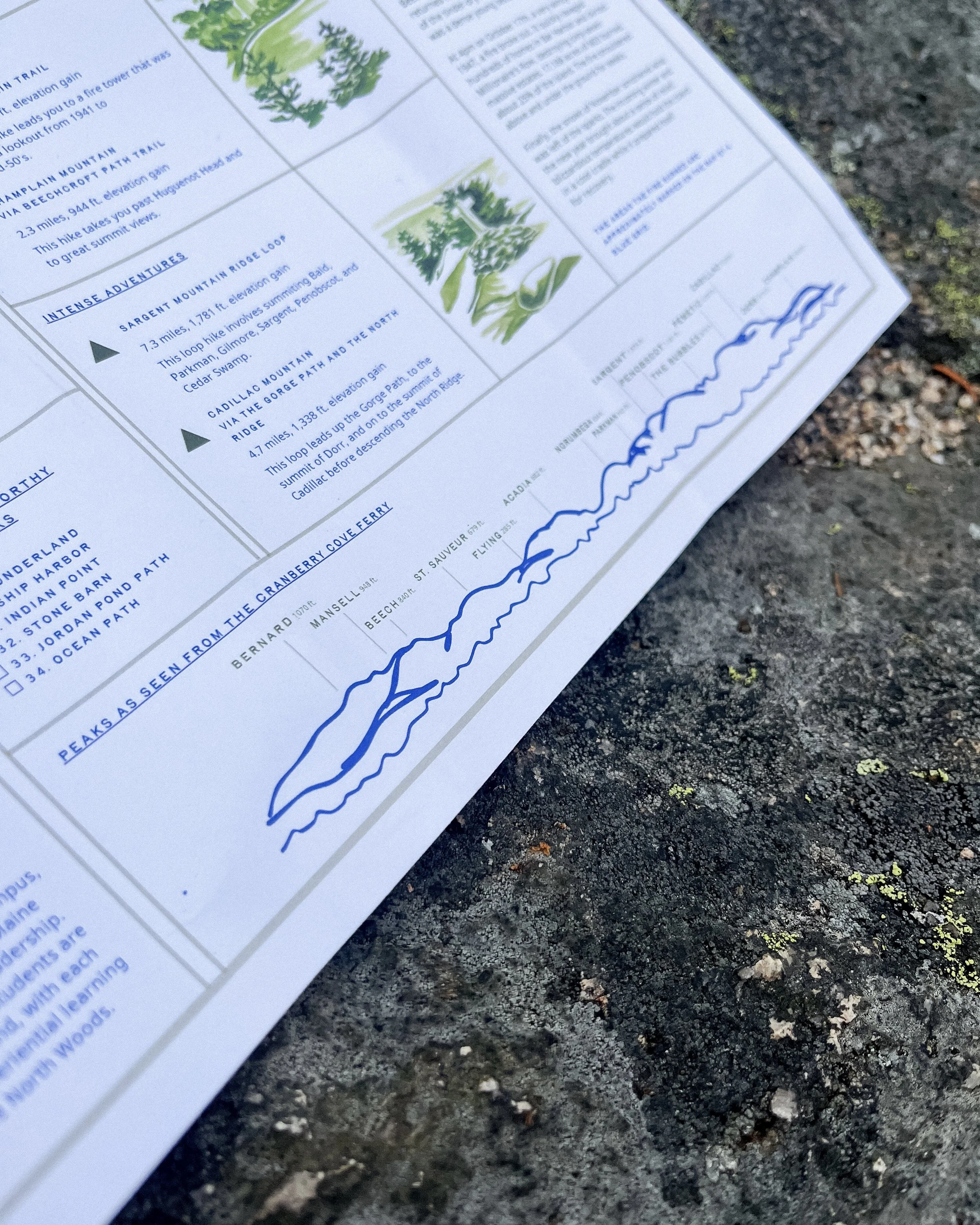
Process: I collaborated with COA Student Life to research and brainstorm what needed to be included on the maps. I created watercolor base topographical maps, then drew digitally to add roads and label landmarks. Additional illustrations are watercolor and marker.